 skip to content


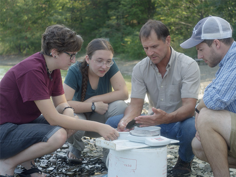
Juniata’s environmental programs prepare students to turn scientific knowledge into practical solutions for the environmental challenges facing our world. Through hands-on field experiences, interdisciplinary study, research, and professional preparation, students develop the technical, analytical, and problem-solving skills needed for careers and advanced study in environmental science, conservation, engineering, geology, aquatic and marine sciences, and related fields.
Juniata’s environmental programs prepare students to turn scientific knowledge into practical solutions for the environmental challenges facing our world. Through hands-on field experiences, interdisciplinary study, research, and professional preparation, students develop the technical, analytical, and problem-solving skills needed for careers and advanced study in environmental science, conservation, engineering, geology, aquatic and marine sciences, and related fields.
Undergraduate Programs
Graduate Programs
3+1 Accelerated Dual Degrees
Raystown Field Station
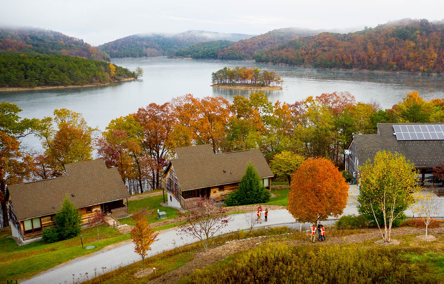
At our environmental research complex on the shores of Raystown Lake, you can enjoy 24-hour access to expansive, mountainous wildlands within the Raystown Branch of the Juniata River watershed, a major lake fishery on Raystown Lake, as well as an educational program rare for an undergraduate institution. Learn more about the Raystown Field Station here.
Sparks Farm
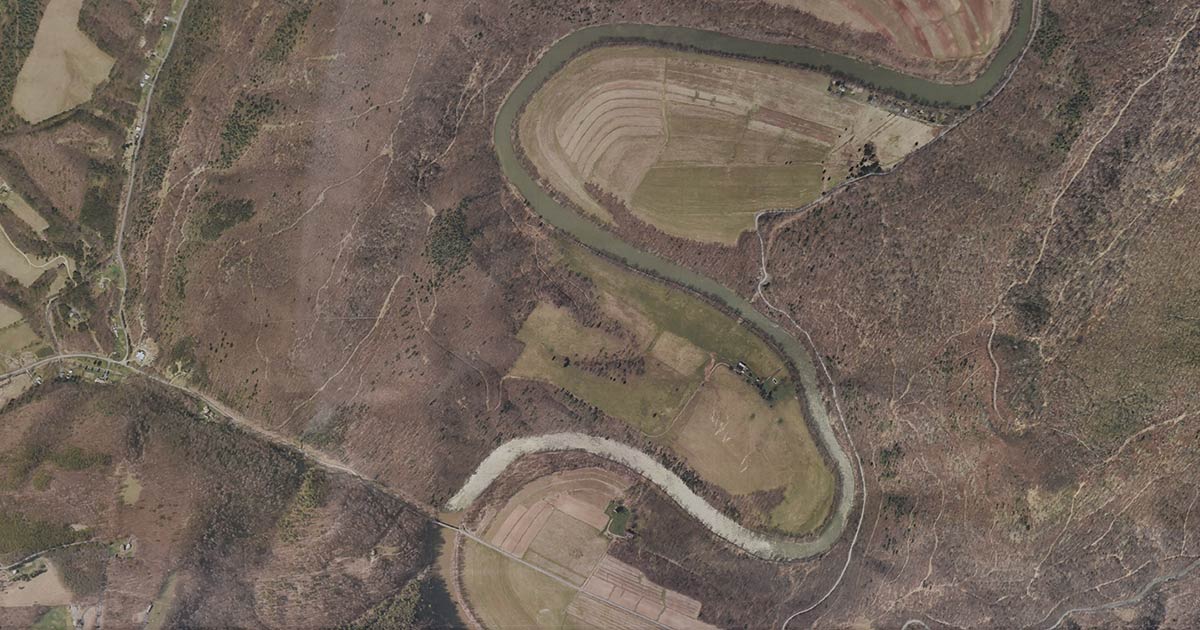
The 378 acres that encompass the Sparks Farm includes invaluable riverfront access.
Sparks Farm
The 378 acres that encompass the Sparks Farm includes invaluable riverfront access.
Glaeser Greenhouse
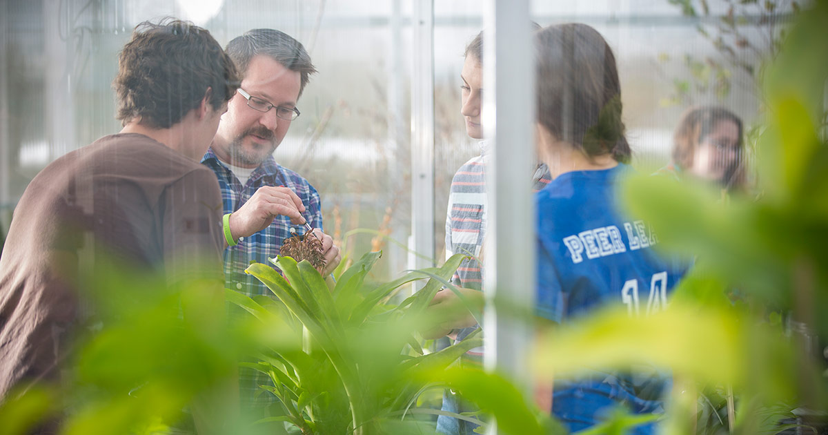
Glaeser Greenhouse provides space for research, propagation, and collections.
Glaeser Greenhouse
Glaeser Greenhouse provides space for research, propagation, and collections.
The GIS and Spatial Analytics Lab
The Geographic Information System (GIS) lab is used by students for capturing, storing, analyzing and managing data which are spatially referenced to the earth. It is also useful for students studying technology to be knowledgeable in GIS. Some of the technologies available to students in the lab include:
- The Remote Sensing Exploitation Platform (ENVI)
- Hydrologic Engineering Centers River Analysis System (HEC-RAS)
- The Data Visualization & Analysis Platform (IDL)
- IDRISI GIS
- Image Processing Software
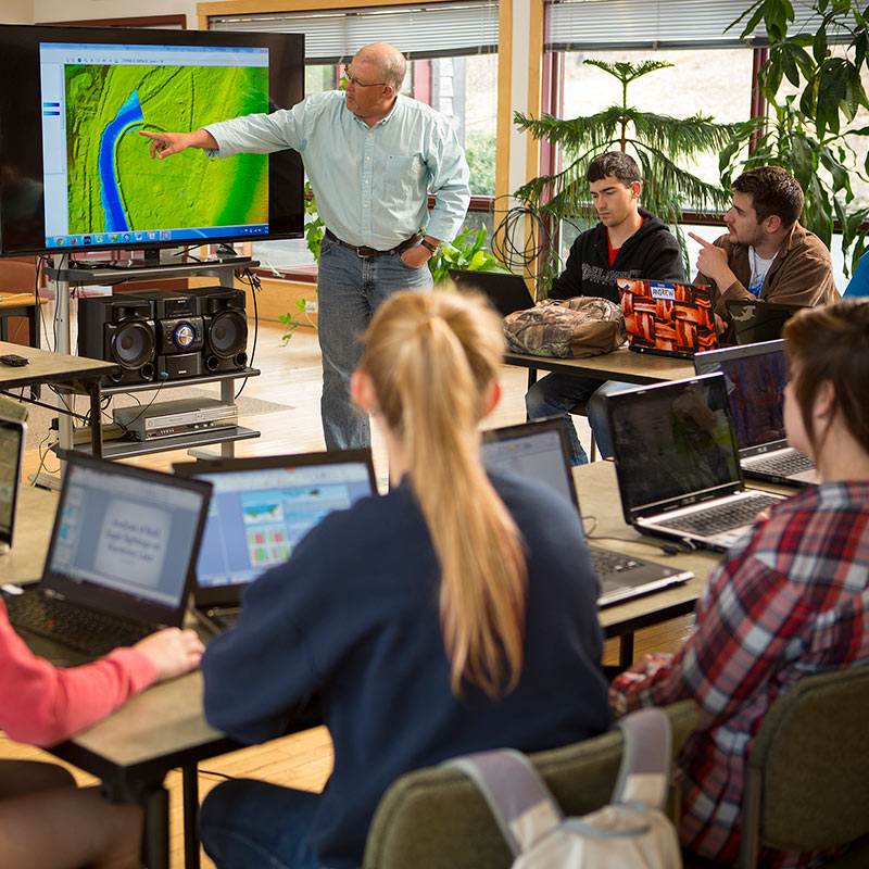
The GIS and Spatial Analytics Lab
The Geographic Information System (GIS) lab is used by students for capturing, storing, analyzing and managing data which are spatially referenced to the earth. It is also useful for students studying technology to be knowledgeable in GIS. Some of the technologies available to students in the lab include:
- The Remote Sensing Exploitation Platform (ENVI)
- Hydrologic Engineering Centers River Analysis System (HEC-RAS)
- The Data Visualization & Analysis Platform (IDL)
- IDRISI GIS
- Image Processing Software